


Turning Colder With A Good Chance Of Snow This Weekend

The Billings office of the National Weather Service has provided an update on the potential snow event for late this week into the weekend.
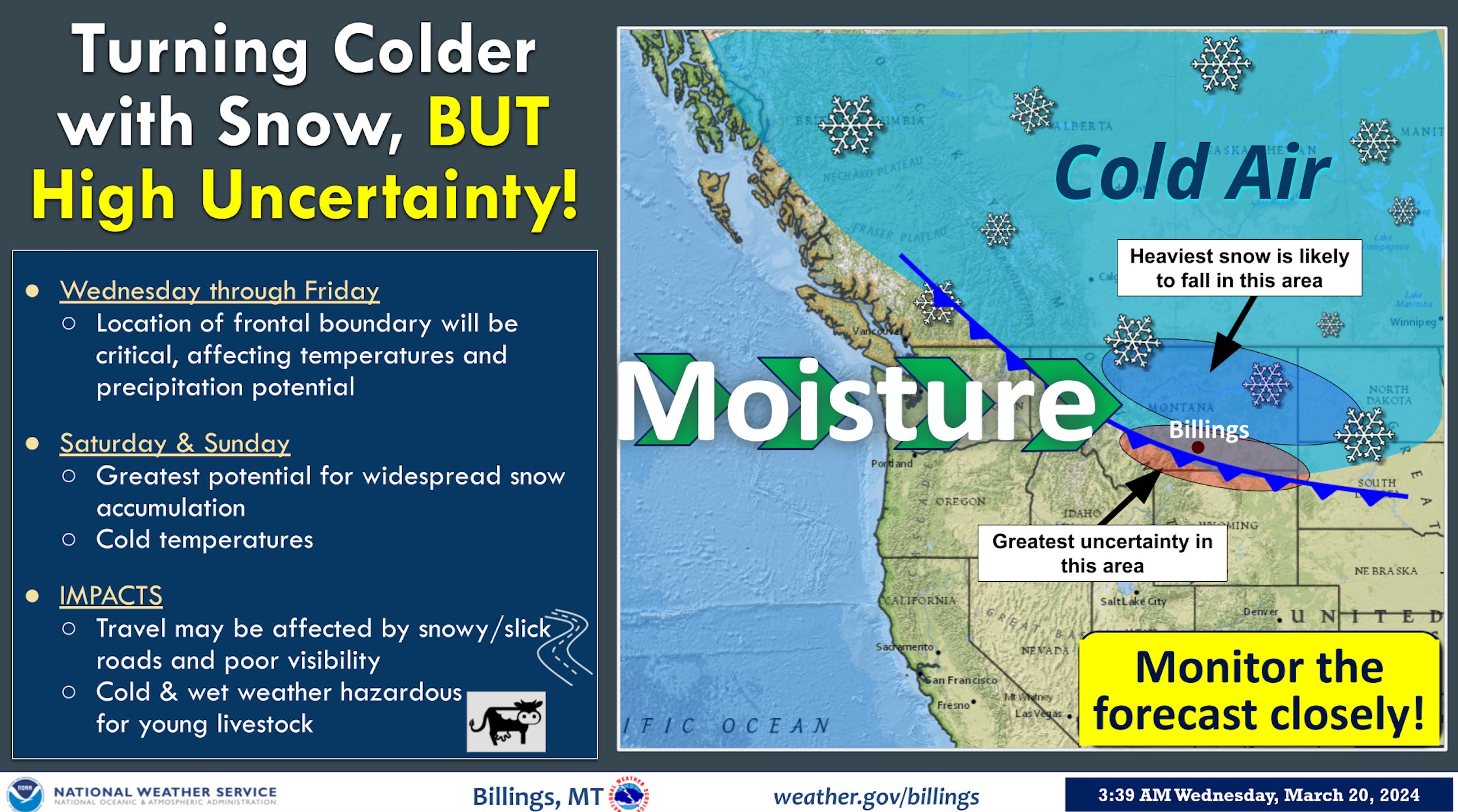
KEY POINTS
Band of snow forms north of Billings late tonight and Thursday.
Temperatures turning gradually colder with highs in the 20s and 30s this weekend.
Good chance of accumulating snowfall this weekend.

DETAILS
Wednesday & Thursday:
A band of snow develops north of Billings (from near Roundup to Miles City to Baker) tonight and Thursday morning.
Areas under this snow band could pick a quick 1-2 inches of accumulation.
Chance of rain & snow showers for the rest of southern Montana and northern Wyoming.
Highs Wednesday: Ranging from the lower 60s west (Lvingston, Billings, Sheridan) to upper 30s east (Baker).
Highs Thursday: Ranging from the mid 50s west (Livingston, Billings, Sheridan) to mid 30s east (Baker).
Friday Through The Weekend:
Friday: Turning colder with the chance of steady snow increasing by Friday night.
Saturday & Sunday: Cold with a good chance (60-90%) of accumulating snow.
See images below for snowfall probabilities


.


Confidence & Uncertainty:
Confidence high on turning colder this weekend.
Confidence high on the best chance of accumulating snow being over the weekend.
Uncertainty on snow amounts with the band of snow late tonight and Thursday morning.
Uncertainty on exact placement of heaviest snow this weekend.