Today's Smoke Forecast
From the Montana Department of Environmental Quality (DEQ)
Current Conditions
A trough of low pressure moves across that state late Wednesday. It will gradually help to scour the surface smoke over the region and provide some beneficial rain.
There are still several large, active fires burning in Central Idaho. The Wapiti fire is currently the largest wildfire in Idaho. It’s burning in the mountains of the Boise National Forest of Central Idaho. It has burned nearly 122,000 acres and is only 12% contained.
Several fires burning in Western Montana continue to grow. The Grouse fire burning just east of Wisdom has burned around 6,000 acres and is 22% contained. The Johnson fire burning just east of Sula has burned nearly 6,500 acres and is 25% contained. The Sharrott Creek fire just west of Stevensville is the largest staffed wildfire in the state, with 346 personnel assigned to it. has burned around 3,100 acres and is 36% contained. The Ratio Mountain fire burning east of Butte has burned more than 1,200 acres. It is 85% contained.
At 8:00 a.m. Wednesday, Libby, Thompson Falls, Columbia Falls, Frenchtown, Missoula, Seeley Lake, Helena, Great Falls, Lewistown, Bozeman, Billings, and Sidney were enduring Moderate air quality. Hamilton, Dillon, and Butte were experiencing air that is Unhealthy. Miles City, Glendive, and Broadus were enduring Unhealthy for Sensitive Groups air.
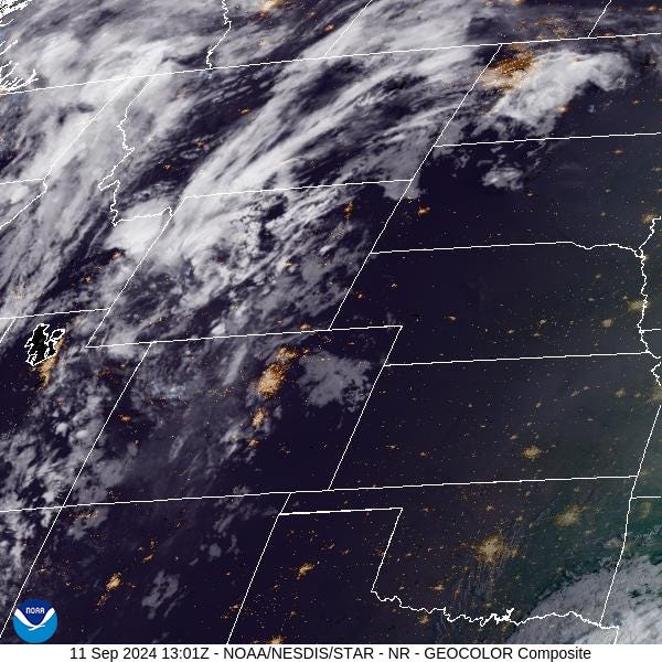
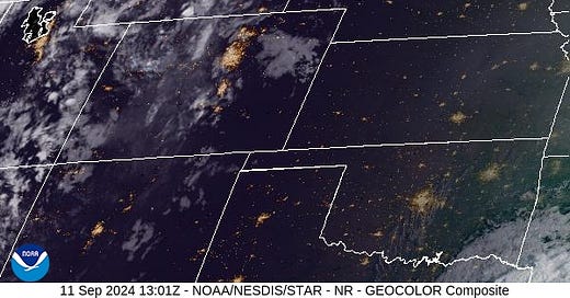
Wednesday morning’s satellite shows a trough of low pressure approaching providing increasing clouds for Montana.

Forecast
Air quality will remain degraded over several counties in Southwest Montana again on Wednesday. However, a powerful area of low pressure will begin to scour out the surface smoke late in the day. Much of the region will receive more than half an inch of precipitation from this storm through early Friday. It will help to moderate fire behavior and limit smoke production. By Thursday, the entire region will be breathing cleaner air as a result.
The higher terrain over Western Montana has a good chance of picking up several inches of snow. Snow could fall as low as 6,000 feet from this system, and travel could become tricky over the passes. A ridge moves over the Treasure State this weekend, providing drier and warmer weather.
By Tuesday and Wednesday of next week, another trough of low pressure swings into Montana. Expect another round of beneficial rain and mountain snow. The timely precipitation should help to keep regional wildfires in check and help reduce surface smoke concentrations over the area.
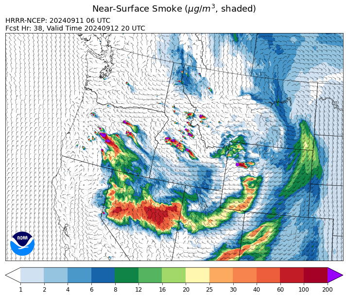
By late Thursday the HRRR smoke model shows surface smoke concentrations dropping over the Northern Rockies thanks to a trough of low pressure.

Conditions can change quickly as weather could stimulate active fires and the likelihood of new starts increases. You can keep track of concentrations at todaysair.mtdeq.us or the Fire and Smoke Map.


