


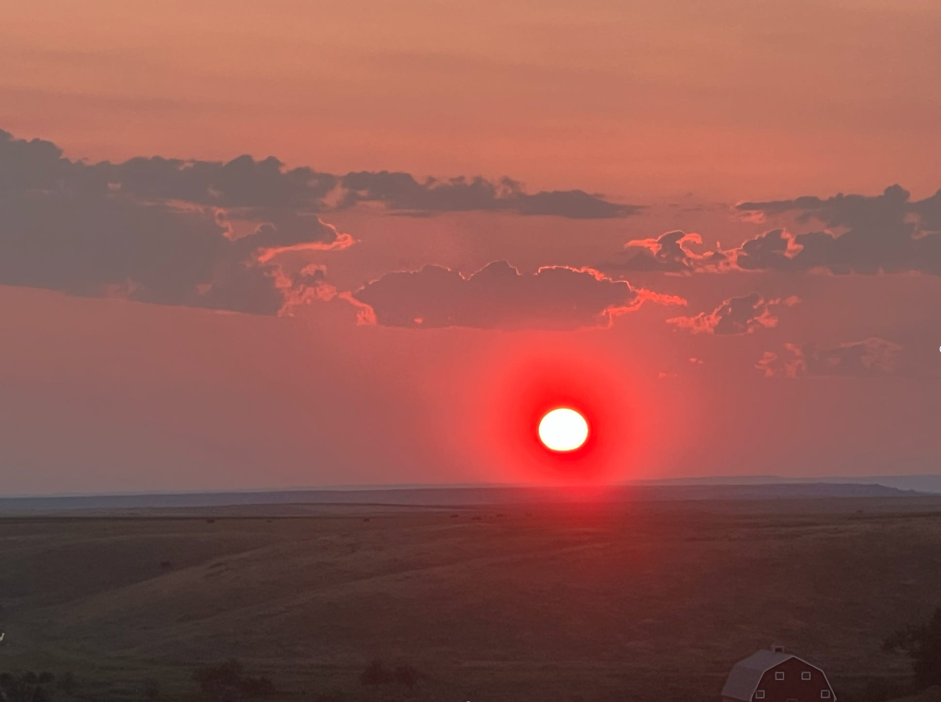
Smoke Forecast for Tuesday, July 30, 2024

From the Montana Department of Environmental Quality website
Current Conditions
Several regional wildfires have expanded significantly over the last 48 hours. However, a trough of low pressure will march across the Northern Rockies on Tuesday. It will gradually provide better air quality across the state.
The Wye fire just west of the Bitterroot Valley continues to grow. It has experienced significant growth this week with 0% of the fire contained. Showers and scattered thunderstorms are expected on Tuesday which should ease fire behavior and smoke production on this blaze.
At 10:00 AM Tuesday, Libby, Thompson Falls, Columbia Falls, Seeley Lake, Missoula, Butte, Dillon, Bozeman, West Yellowstone, Helena, Sleeping Giant, Great Falls, Lewistown, Billings, Miles City, Glendive, Sidney were enduring Moderate air quality. Broadus was experiencing air that is considered Unhealthy for Sensitive Groups.
Tuesday morning’s satellite shows a trough of low pressure marching across the Northern Rockies.

Forecast
A trough of low pressure will move across the Northern Rockies on Tuesday. It will provide some much-needed rainfall for the state and cooler temperatures. The rainfall should help to ease fire behavior and smoke production on existing wildfires. Apart from communities immediately adjacent to wildfires, the trough should provide a brief break from the heavy smoke we’ve endured of late. The spine of the Bitterroot Mountains, including the Wye fire, will see the most rain from this system. Up to half an inch of rain is possible along the Montana/Idaho border. The rain will gradually taper off by early Wednesday.
A ridge of high pressure will begin to move over the area on Wednesday and Thursday. It will allow temperatures to warm back up above average. Due to warm temperatures, gusty winds, and low humidity, there is a good chance for elevated fire weather conditions over parts of Montana between Friday and Saturday.
There are still numerous fires burning across California, Oregon, Washington, and Idaho. As the ridge builds and southerly winds return Friday and Saturday, some of the smoke from these fires will begin to move back into Montana.
By Wednesday afternoon, the HRRR smoke model shows a departing trough providing some temporary relief from the smoke to much of the state.

Source: HRRR Smoke