Mid to Late Week Snowfall Predicted
By Denise Rivette
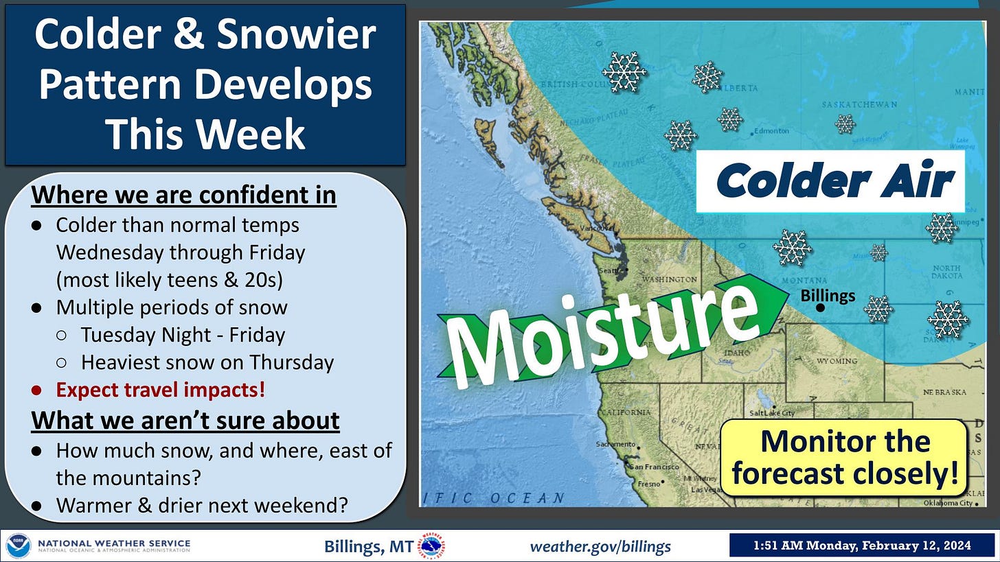
The Billings office of the National Weather Service predicts another winter system is approaching and looks to put down some accumulating snow across the area. Details below.
KEY POINTS
One round of snow Tuesday night into Wednesday.
A second round of snow (possibly heavier) late Wednesday night into Friday. Mountains could pick up a foot of snow through Friday.
DETAILS
Tuesday:
Snow develops overnight.
Snow amounts: a trace to an inch.
Wednesday:
Snow continues through the morning and afternoon. Snow tapers off late afternoon and evening.
Snow develops again Wednesday night.
Snow amounts: 1-2 inches (highest along the foothills).
Thursday:
Snow continues into Thursday night.
Snow could be locally heavy at times.
Snow amounts: 2-4 inches (highest along the foothills).
Friday:
Snow continues through the morning, then tapers off by afternoon.
Snow could be locally heavy in the morning.
Snow amounts: 1-2 inches (highest along the foothills).
Snow Total Probabilities Tuesday night through Friday:
General Snow Totals: 3-6 inches over the plains, 4-8 inches in the foothills.
Probability of 2 inches or more: Livingston=80%, Red Lodge=90%, Billings=85%, Sheridan=85%, Miles City=20%.
Probability of 4 inches or more: Livingston=50%, Red Lodge=80%, Billings=50%, Sheridan=60%, Miles City=5%.
Probability of 6 inches or more: Livingston=20%, Red Lodge=50%, Billings=20%, Sheridan=30%
Mountains:
Heaviest snow on the west and southwest facing slopes. General Snow Totals: 10-14 inches Tuesday night through Friday.
Probability of 8 inches or more: 90%. Probability of 12 inches or more: 60%.
Confidence & Uncertainty:
Confidences is high for colder temperatures and some snow.
Uncertainty still exists on exact snow totals and with timing of the two waves of snow.
Snow amounts will be updated as the system approaches.


