


Keeping Watch: Flood Changed Waterways and Benchmarks
Higher streambeds make for apparently higher water levels

By Denise Rivette (updated 4:44 p.m.)
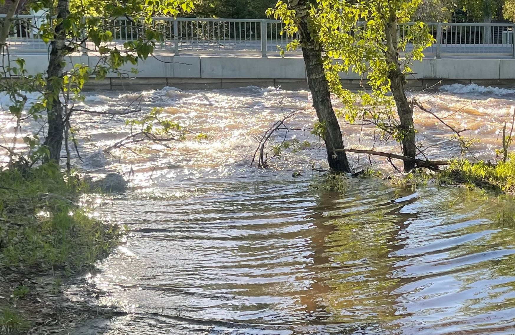
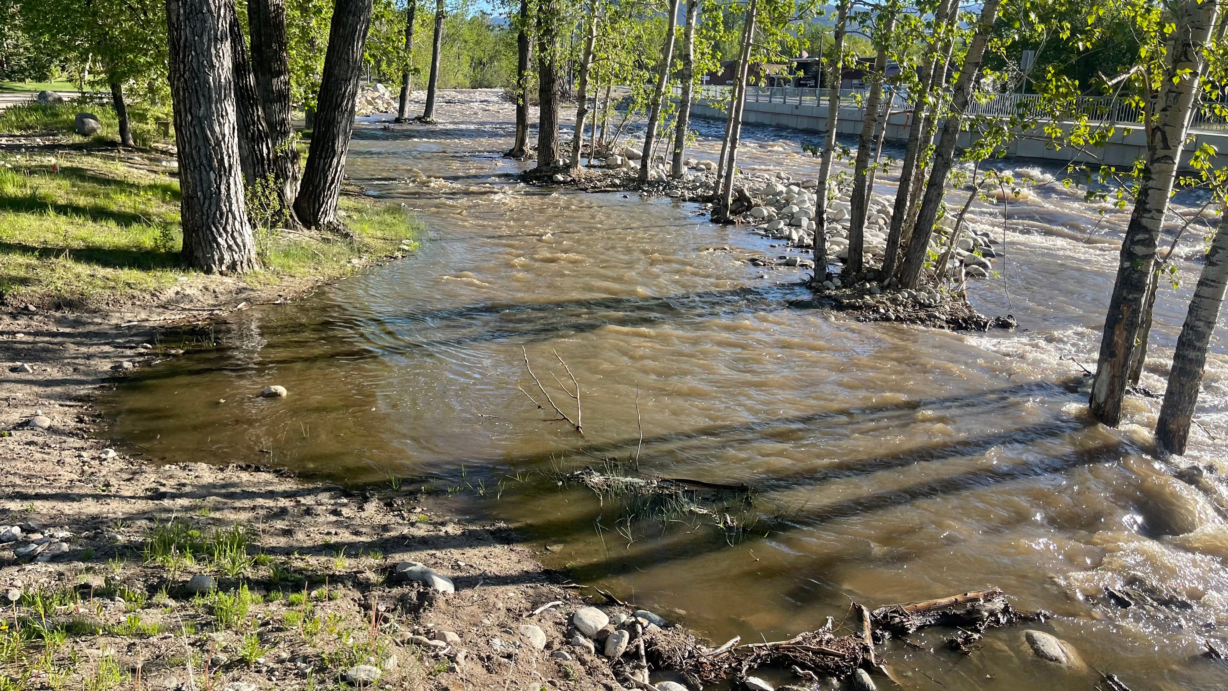
Last night’s rising water levels on Rock Creek had several local officials alert but not alarmed. With warming and cooling trends the water level and flows will continue to fluctuate and there may appear to be more water than usual. City and County officials state there is not an unusual amount of water coming down at this time. Because their efforts to remove the rock debris (including sand) that was deposited on the creekbed by the 2022 flood were thwarted when Montana FWP revoked the permit it had earlier issued, the creekbed is higher (by feet in some places) giving the illusion of more water. This also means that certain water level benchmarks along the banks that previously indicated dangerous amounts of water in the creek are now unreliable predictors of flood potential.
For reference, the peak flow rate last night was approximately 1,056 cubic feet per second (CFS). On June 13, 2022, the flow rate was 51,400 CFS.
For reference, the peak flow rate last night was approximately 1,120-1,170 cubic feet per second (CFS). During the 2022 flood, USGS monitors registered the maximum flow at 2,570 CFS.
An alert reader pointed out that USGS had the maximum flow rate at 1,120 CFS at 10:00 p.m. A further check of NWS data had the maximum flow rate at 1,170 CFS at 11:15 p.m. The same USGS monitor had the maximum flow rate during the 2022 flood at 2,570 CFS. I found the 51,400 CFS amount in a NASA report that took its numbers from monitors higher in the mountains. I apologize for my lack of research thoroughness in this case and will work harder in the future.
County and City authorities will continue to monitor the situation and will alert citizens to danger using CodeRED, Carbon Alert and the Red Lodge siren (three blasts). Later this evening, a drone flight is scheduled during the next anticipated high water level to search for any potential problem areas.
If you notice dangerous flooding, call Carbon County Sheriff’s Office Dispatch at (406) 446-1234. If it is an emergency, call 911. Please note that riparian areas (undeveloped lowlands next to waterways) are areas where water is expected and where it is beneficial for water to flow for flood control and the ecosystem.
If the Red Lodge siren goes off three times, please check CarbonAlert.org for further information.
If you have not already done so, please sign up for CodeRED now because that is the main way authorities will alert those in the path of danger, should it be necessary. You can sign up for alerts HERE.
You can monitor the water flows at the National Weather Service site or the U.S. Geological Service site.