


Flood Advisory in Effect on Clarks Fork Until 6:30 P.M. Monday
Officials are keeping an eye on the situation, not alarmed at this point; Advise all those in area to sign up for emergency alerts from CodeRED to stay informed should situation change

By Denise Rivette
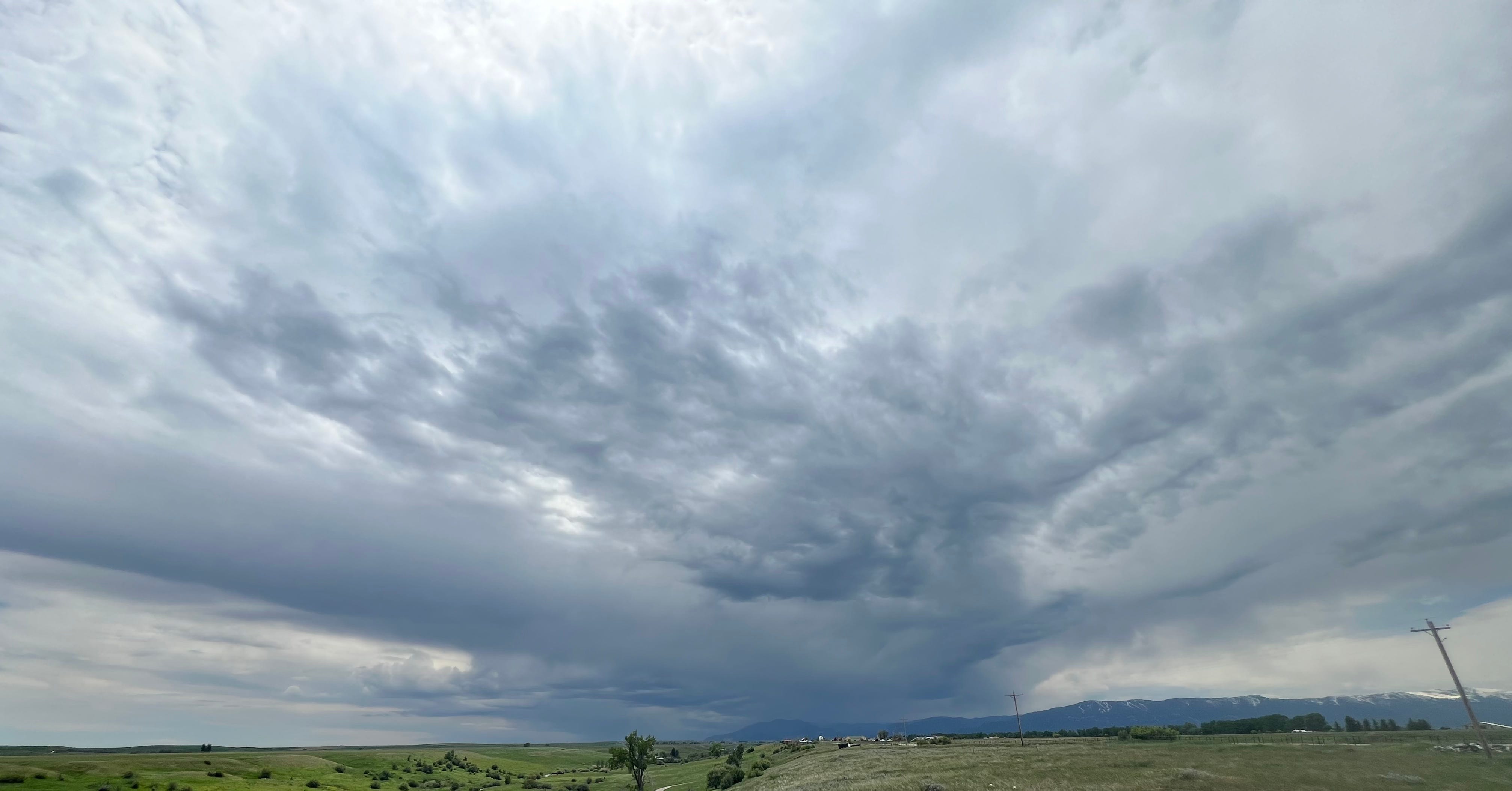
At 6:33 a.m. Sunday, June 9, 2024, the Billings office of the National Weather Service predicted snowmelt combined with showers and thunderstorms over the Beartooth mountains through Sunday night may push the Clarks Fork of the Yellowstone river to Minor Flood stage Sunday night into Tuesday. A Flood Watch is in effect for this area. The probability of flooding is around 40% at this time.
Commissioner Scott Blain, whose district includes Edgar, was asked for his assessment of the rain and flood probabilities and preparations made. “So far, there have been pretty small cells and short in duration. I’m not overly alarmed. If the situation should change, we have people and equipment ready to clear debris on the bridges, if needed. While at this point it is not anticipated that the waters will rise to the level of ‘flood event’ over the next 24 hours, weather and waterways can change drastically with little warning. I advise all citizens and visitors sign up for CodeRED at Carbon Alert [the system the County and the municipalities use to alert the public to a crisis] so they can be warned if there is an emergency in their area.”

The current predicition is that it may just hit minor flood stage at 9 feet. At 1:30 this afternoon the gauge at Edgar read 7.8 feet with a flow of 7,500 cubic feet per second (CFS) It is predicted to crest between noon and 6:00 p.m. tomorrow at Edgar at 8.9 feet and 9,790 CFS. For reference, during the June 2022 flood this gauge crested at 13.09 feet.
At 12:58 p.m. today the Billings office of the National Weather Service provided the following information:
...FLOOD ADVISORY IN EFFECT UNTIL 630 PM MDT MONDAY...
WHAT...Small stream flooding caused by excessive rainfall and snowmelt is expected.
WHERE...Portions of central and south central Montana, including the following counties
In central Montana, southwestern Wheatland.
In south central Montana, southwestern Carbon, Park, southwestern Stillwater and Sweet Grass.
WHEN...Until 6:30 P.M. Monday
IMPACTS...Rapid rises on small streams and creeks originating in the mountains resulting in minor flooding adjacent to waterways. Runoff may flood roadways resulting in restriction to travel and possible foothills road damage.
ADDITIONAL DETAILS... - At 12:30 p.m., Streams are already running high with runoff, and thunderstorms are expected this afternoon through tonight. Rainfall forecast shows half an inch to locally an inch of rainfall is possible with thunderstorms through tonight. Above 8,500 feet this rain will fall on the snowpack resulting in increased snowmelt and extra runoff in addition to the precipitation forecast. This will cause rapid rises and small stream and creek flooding in the advisory area.
Some locations in the flood advisory include... Red Lodge, Clyde Park, Absarokee, Bearcreek, Chico Hot Springs, McLeod, Springdale, Nye, Pine Creek, Dean, Mystic Lake, Chico, Alpine, Emigrant, Melville, Fishtail, Jardine, Wilsall and Roscoe.
Campgrounds adjacent to waterways in mountains and foothills.
PRECAUTIONARY/PREPAREDNESS ACTIONS...
Turn around, don’t drown when encountering flooded roads find an alternate route. Roads and driveways may be damaged or washed out in places. Be especially cautious at night when it is harder to recognize the dangers of flooding.
Stay away or be swept away. Stream banks and culverts can become unstable and unsafe. It is important to know where you are relative to streams, rivers, or creeks which can become killers in heavy rains. Campers and hikers should avoid streams or creeks.
Please report observed flooding to local emergency officials at (406) 446-1234 and request they pass the information to the National Weather Service in Billings.